
ATAK for police and public authorities
Special units plan entries and surveillance operations on a shared map, and drone and body-cam footage flows into the situation picture. The data stays on your own server.
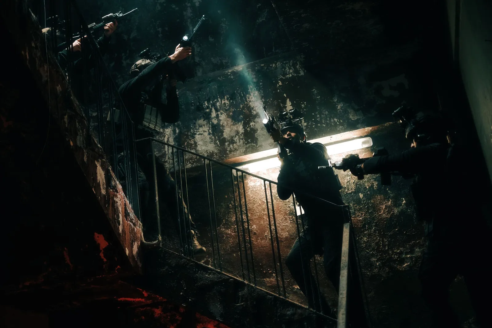
Special units
One picture for tactical entry and surveillance
Whether tactical units such as Germany’s SEK and MEK or comparable special forces: before the operation, the target building, entry points and cordon positions are on the map. During the operation, command sees every team, every vehicle and the drone feed.
- Real-time positions of all officers and vehicles
- Entry planning with building, access points and cordon areas
- Reports, photos and video tied to a location
- ATAK on Android, iTAK on iPhone, WinTAK at the command post
Typical scenarios
Tactical entry and arrest
Entry team, cordon and EMS work from the same plan. The drone shows the back and roof of the building, and command sees when every team is in position.
- TAK Server
- Drone
- Groups
Surveillance and manhunts
Surveillance teams, vehicles and air support share their positions. When the situation changes, every team sees the new report with location and photo.
- Groups
- Chat
- Video
Major operations with other agencies
In major operations, police, fire service and EMS use federation to share only what the others should see, such as road closures and staging areas.
- Federation
- Groups
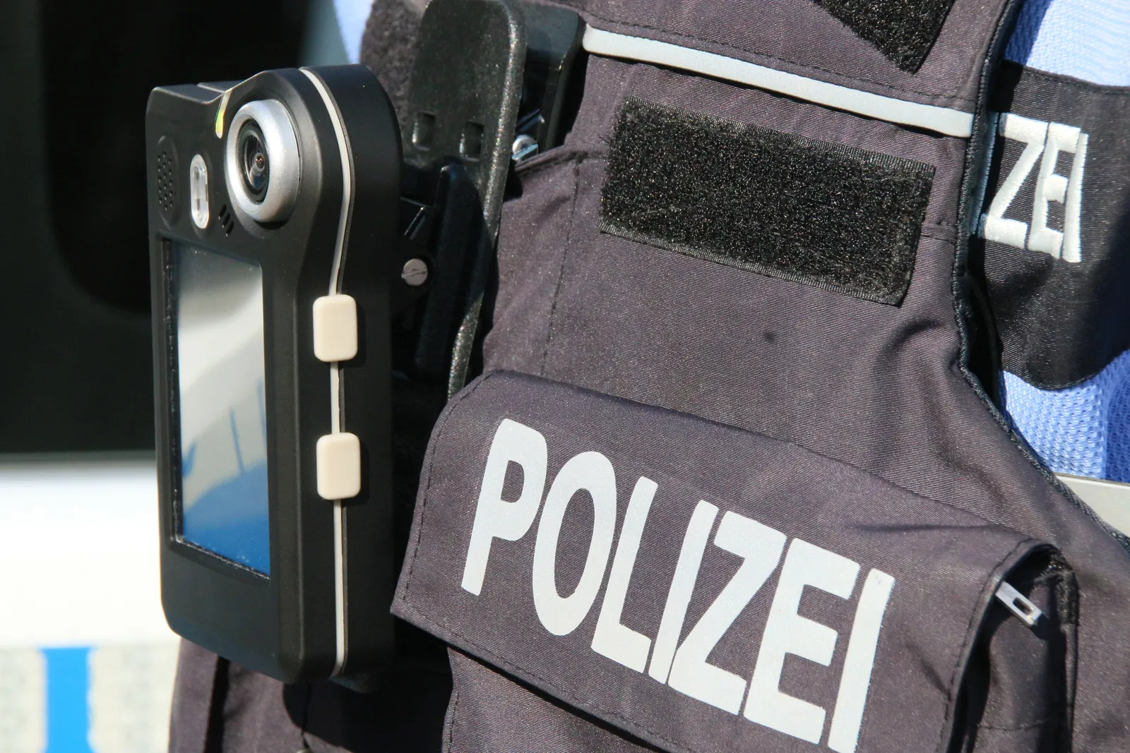
Video and sensors
Drones, body cams and cameras in the situation picture
The drone feed runs live in ATAK, with the drone’s position on the map. We connect suitable body cams and fixed cameras through a video server. Command sees what officers on the ground see.
- Live drone feed with its position on the map
- Body cams and fixed cameras via a video server
- Groups control who sees which feed
Your data under your control
Your own server
The TAK Server runs in your data center, managed by your IT. We set it up and hand it over. You decide who gets access.
Certificates and groups
Every device signs in with its own certificate, and groups determine who sees which picture. You can block a lost device centrally.
Open source code
ATAK-CIV and TAK Server are open source. You can have the software audited and you are not tied to any vendor.
How to get started
A pilot in one unit starts with a server and a few devices. We set up the server in your data center, train your IT administrators and hand it over. From then on you run the system yourselves, without depending on outside service providers. What it costs depends on the scope: Costs and process
Frequently asked questions
Is your question missing? Call us or write to us.
Can public authorities use ATAK-CIV?
Yes. ATAK-CIV is the civilian version and is freely available to public authorities, aid organizations and companies, as are iTAK, WinTAK and TAK Server. These are the versions we work with.
Where is our data stored?
On your own TAK Server, either in your data center or hosted in a data center in Germany under a data processing agreement. You use federation to decide what other servers receive.
Who sees which picture?
Groups on the TAK Server control this. Every device signs in with its own certificate and only sees the groups it has been cleared for. You can block lost devices centrally.
Can we integrate cameras and drones?
Yes. Feeds from drones, body cams and fixed cameras appear in the picture through a video server. We clarify which sources are suitable in the first consultation.
Related articles
- TAK for public safety: Experience from US agencies, presented at TAK Offsite 2024
- Video streaming in the TAK ecosystem: Bringing drones, body cams and fixed cameras into the picture
- Securing a TAK Server: A practical guide to certificates, roles and operation
Talk to our experts
Tell us briefly who you are and what you are planning. We will get back to you with a suggested appointment. The first consultation is free.
Phone