
ATAK for fire services, EMS and civil protection
Incident command, crews and EMS see the same map, with vehicles, water supply points, treatment areas and road closures. If the mobile network fails during a large-area incident, the maps stay available offline and positions travel over mesh radio.
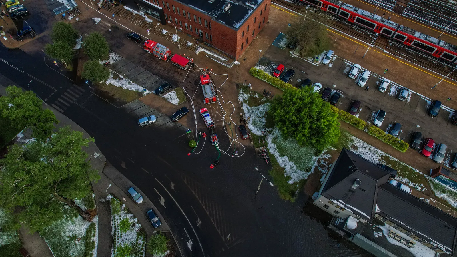
Situation map
The situation as incident command sees it
Incident command draws sectors, staging areas and hazard zones once. Every device on the incident shows them immediately, in the command vehicle as well as with the crews.
- Position and status of every unit with a device
- Hydrant maps and water supply points as a map layer
- Photos and reports with location and time
- Offline maps of your area on every device
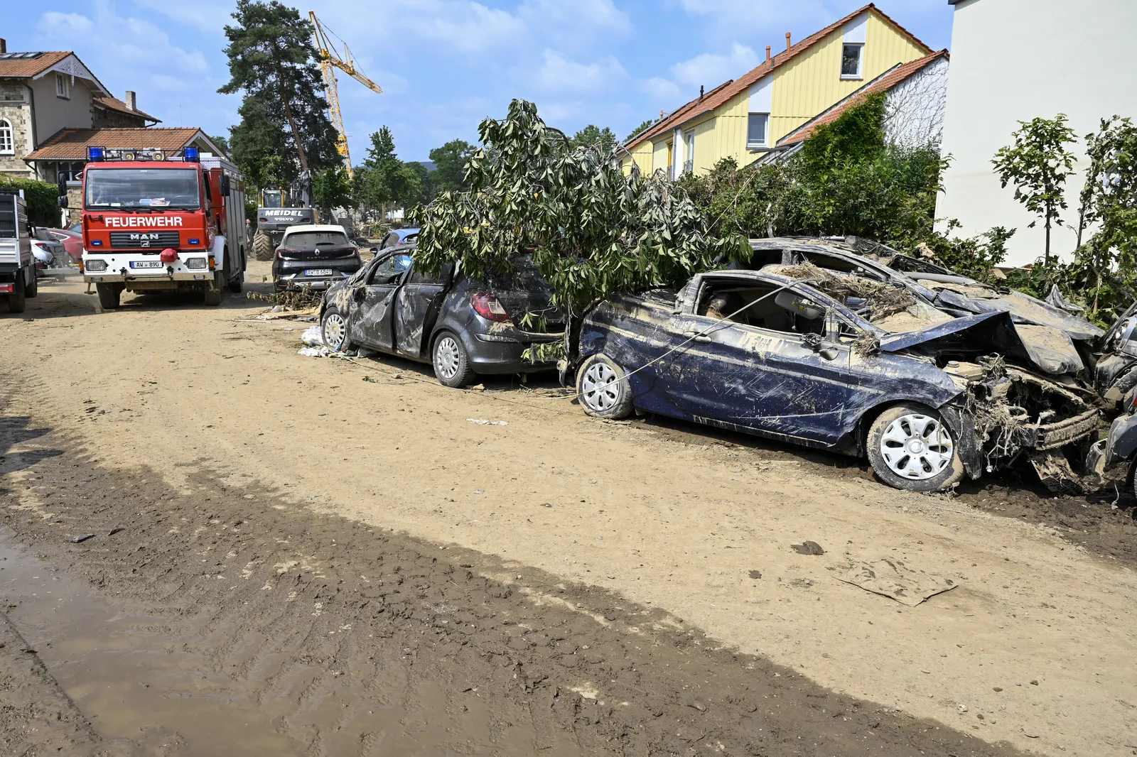
Ahr valley 2021
Lessons from the Ahr valley flood
The flood of July 2021 killed at least 135 people in the Ahr valley in western Germany. During the night of the flood, power, landlines and mobile networks failed, and in parts of the district digital radio went down as well. The final report of the Rhineland-Palatinate state parliament’s inquiry committee describes a deficient picture of the situation (“defizitäres Lagebild”). Because of power and radio outages and missing reports, the scale of the disaster could not be grasped outside the affected towns for a long time.
ATAK was not in use in the Ahr valley at the time. A shared digital situation picture would have supported coordination across organizations:
- Unit positions and reported danger zones on one map
- Federation between the district, fire service, EMS and units from other regions
- Offline maps and mesh radio when the mobile network goes down
- Drone footage and photos with location and time for every level of command
Sources: Rhineland-Palatinate state parliament, printed paper 18/10000 (inquiry committee report, 2024, p. 1644, in German) · WirtschaftsWoche, 27 July 2021 · Deutsches Ärzteblatt, 2 August 2024
Typical scenarios
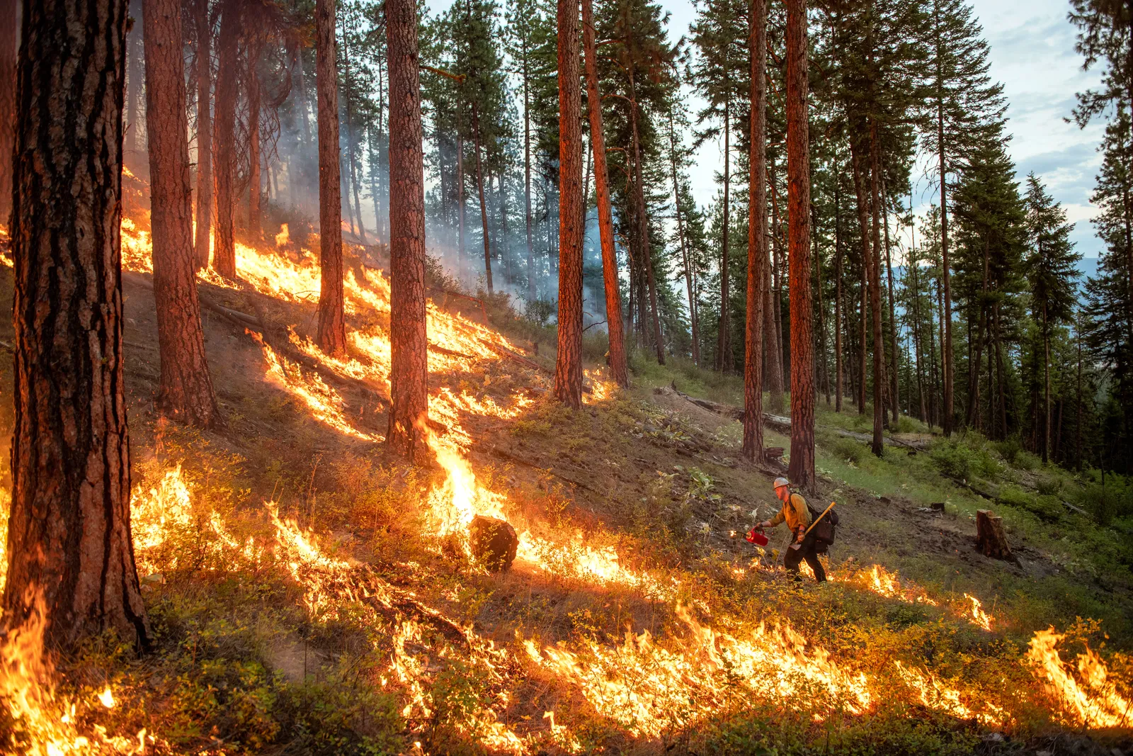
Wildfires and vegetation fires
Incident command divides the area into sectors and sees where vehicles and crews are. The drone feed shows where the fire is spreading. In forests without coverage, positions travel over mesh radio.
- Offline maps
- Mesh radio
- Drone
Floods and heavy rain
Closed roads, pump locations, sandbag filling points and cleared areas are on the map. The picture stays on the server even when shifts and units change over several days.
- TAK Server
- Data packages
Mutual aid from other regions
Units from other districts do not know the area. They receive maps, sectors and assembly points in advance as a data package. If the neighboring organization has its own TAK Server, both share the picture through federation.
- Data packages
- Federation
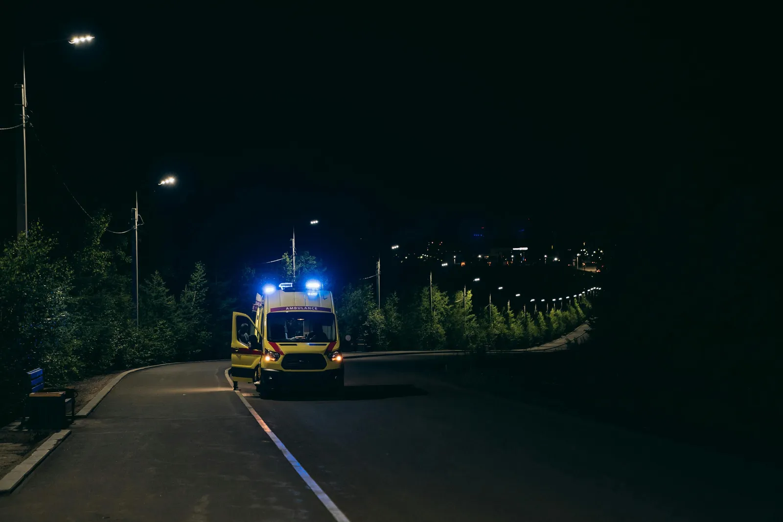
EMS
EMS on the same map
In a mass casualty incident, incident command sees casualty collection points, treatment areas and available ambulances on one map. Paramedics report patients with location and photo, and command sends the nearest free vehicle.
- Ambulances and EMS vehicles with their position on the map
- Casualty collection point, treatment area and staging area as markers
- A shared picture with fire service and police via federation
Equipment
What you need
You start with a TAK Server and tablets for incident command, fire engines and ambulances. Mesh radio and drones follow once you want to use them.
- TAK Server: For your fire service, EMS or district, hosted in Germany or in your own data center
- Devices and mesh radio: Rugged tablets and smartphones, radios on 868 MHz
- Training: For responders and administrators, with scenarios from your own area
- Drone and video: Drone feeds and cameras right on the situation map
For management and procurement
Data protection The server runs on your premises or in a data center in Germany. If we run it, you get a data processing agreement.
Operations After the handover, your administrators run the server themselves. Or we take care of monitoring and updates under a service level agreement.
Licenses ATAK-CIV and TAK Server are open source. You pay for setup, training and, if you want, operation.
Quote Server, number of users, devices and training appear in the quote as separate items.
How to get started
For a trial in one fire station, company or EMS station, a TAK Server and a few tablets are enough. After setup we hand the server over to your administrators, or we run it for you. What it costs depends on the scope: Costs and process
Frequently asked questions
Is your question missing? Call us or write to us.
Does ATAK replace digital radio?
No. Voice traffic stays on your digital emergency services radio. ATAK adds the shared map: positions, markers, photos and messages travel over mobile data, Wi-Fi or mesh radio.
Does ATAK work in a large-area incident without mobile coverage?
Yes. The maps of your area are stored offline on the devices. Positions, markers and short messages travel from device to device over mesh radios on 868 MHz. Photos and video need a data connection.
Does every responder need a device?
No, you decide. One example: a tablet per vehicle and a smartphone for officers and crews in the sector. Incident command works on a tablet or with WinTAK on a PC.
Can other organizations see the picture during a joint operation?
Yes. If both have a TAK Server, they share selected data through federation, and each side keeps its own server. Without a server of their own, personnel from other organizations get access to yours for the duration of the incident.
Related articles
- ATAK in the California wildfires: Drones, aircraft and the situation map in large vegetation fires
- El Niño 2026 and civil protection: What the forecasts for floods, drought and fires mean for operational planning
- Mesh radios for ATAK compared: Which devices are legal in Europe and what they can do
Talk to our experts
Tell us briefly who you are and what you are planning. We will get back to you with a suggested appointment. The first consultation is free.
Phone