
Integration
Drones, cameras and sensors in your operating picture
We connect video streams, sensors and specialist applications to your TAK system, using existing plugins or our own development.
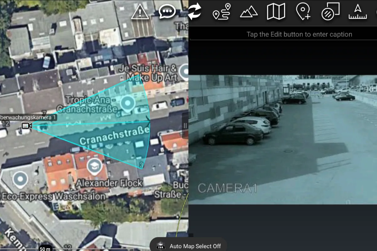
Video from drones and cameras
Over a VPN, body cams, drones and fixed cameras send their video to your own video server (MediaMTX). In ATAK, your teams open the stream straight from the map.
In the browser, incident command sees all streams side by side. If you want, the server records them.
Sensors, robots and specialist applications
Anything that sends Cursor on Target (CoT) appears in ATAK as a point, line or area. For devices without CoT, we develop a plugin or a gateway.
Sensors
Readings from CBRN, weather or water level sensors as points or warning areas, with thresholds.
Robots and vehicles
Position, status and camera feed on the map.
Specialist applications
Data from your software goes into the operating picture as CoT, and markers from ATAK go back into your software.
How CoT is structured is explained in our technical deep dive on ATAK and CoT.
Existing plugins
A selection of the plugins we set up for emergency services.
VNS
Offline route planning with waypoints and detours around closed areas.
Fire Area Survey
Map and measure burned areas, with tracking.
ADS-B
Live air traffic on the map, civilian and operational.
WASP
Coordinate search and rescue over large areas and mark and track hazards after disasters.
UAS-Tool
Drones in ATAK, with telemetry, video and control.
TAK-ML
Classify camera images with machine learning models right in the app.
Meshtastic
Positions and messages over mesh radio, without a server or internet. Mesh radios
Your own plugin
If something is missing, we develop the plugin. For manufacturers: Plugin development
Talk to our experts
Tell us briefly who you are and what you are planning. We’ll get back to you to suggest a meeting time. The initial consultation is free.