
ATAK for your sector
ATAK was developed for the armed forces, and today fire services, police and aid organizations work with it too. What goes on the shared map depends on your mission. Choose your sector.
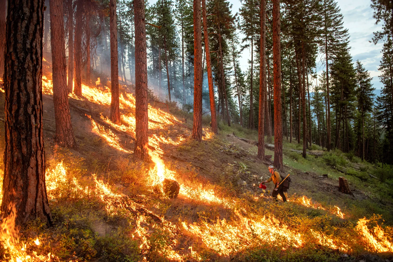
Fire services & civil protection
Wildfires, floods and mutual aid, with EMS on the same map, even without mobile coverage.
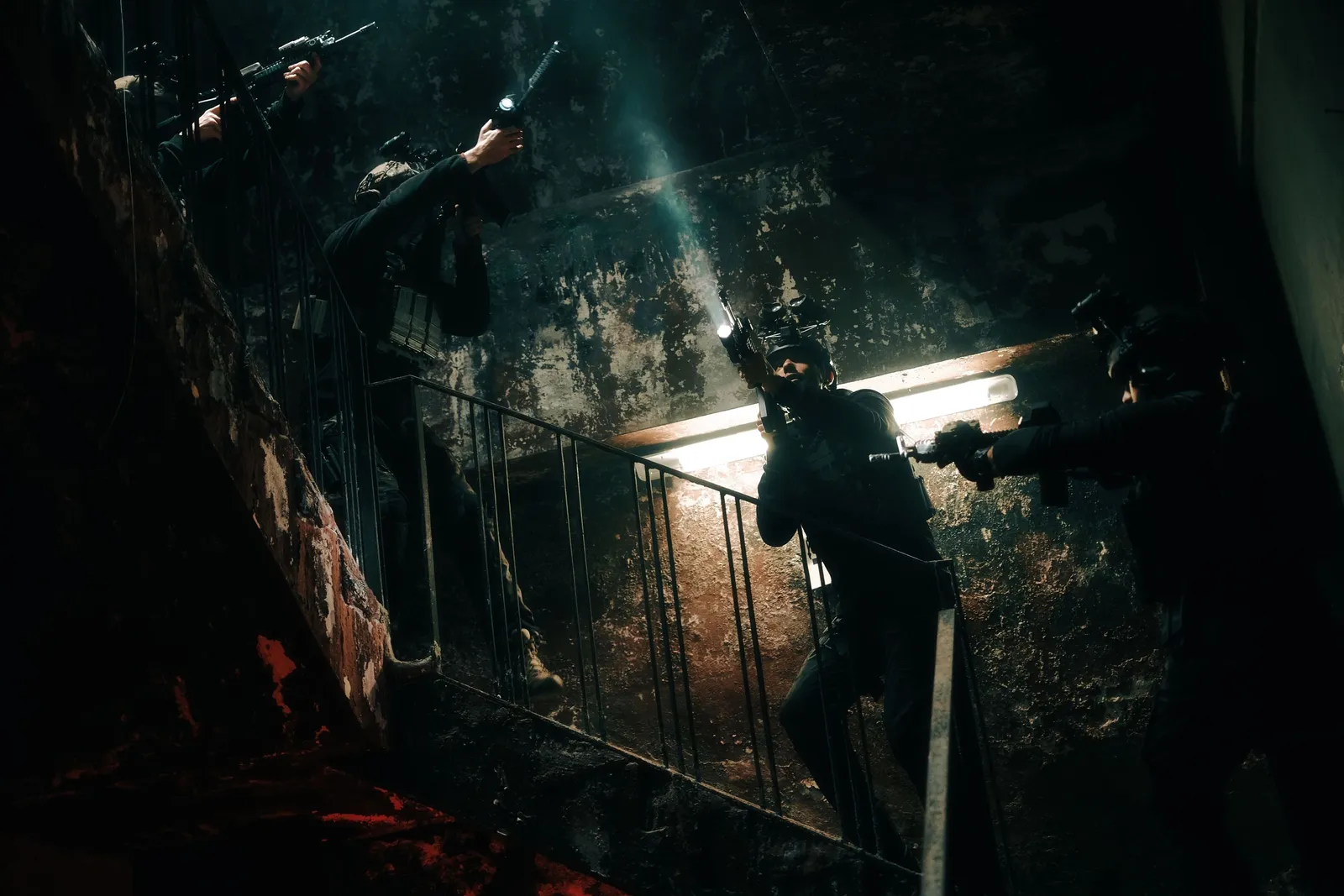
Police & public authorities
Special units, manhunts and major operations: drone and body-cam footage in the situation picture, data on your own server.
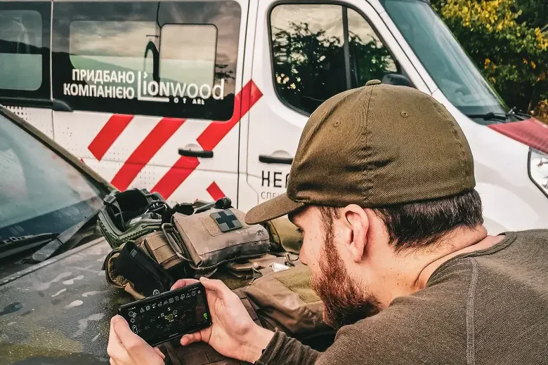
Aid organizations
First aid services, missing person searches and missions abroad, with mesh radio where there is no network.
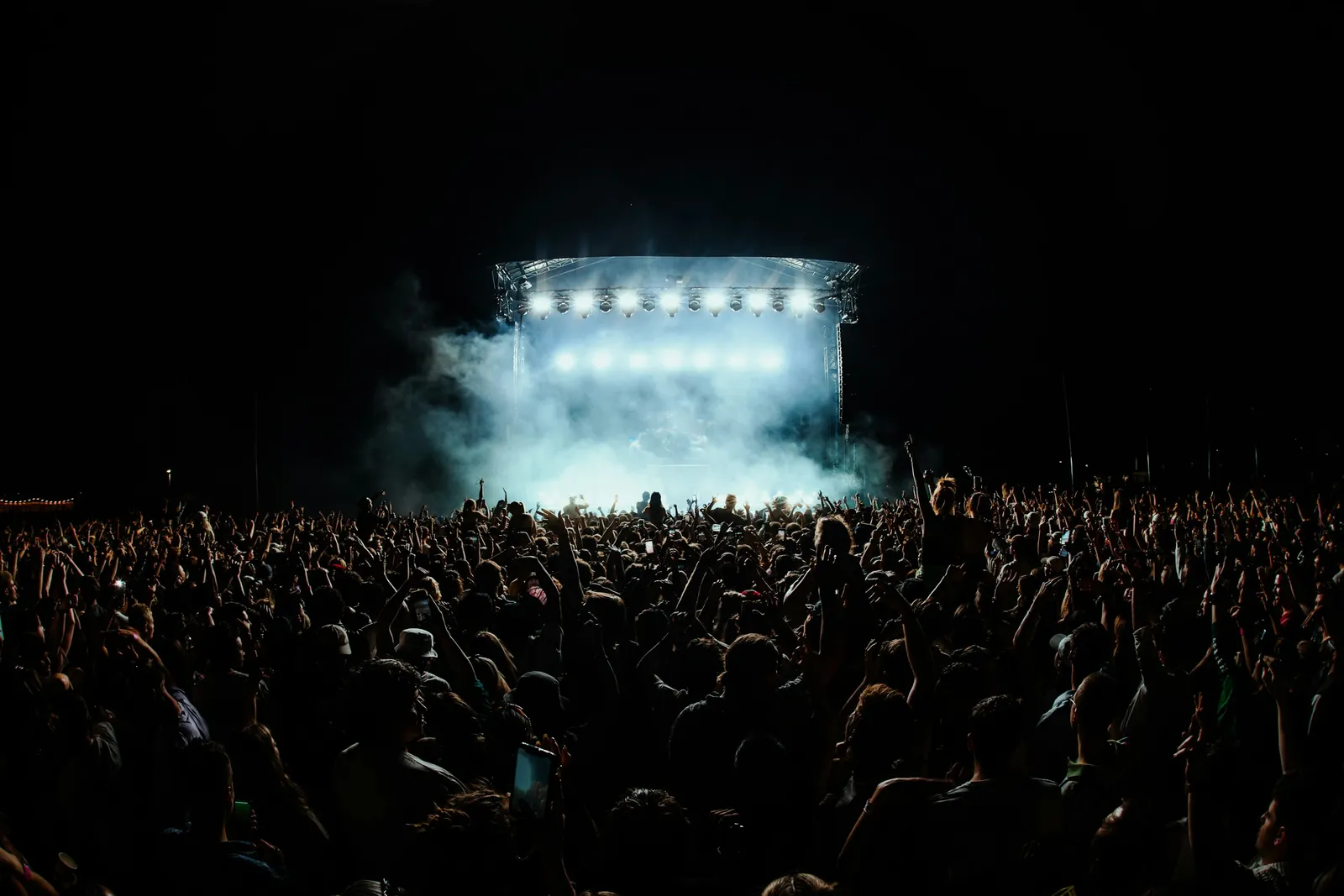
Events & security
Stewards, first aid and close protection on one map, linked to the police if you wish.
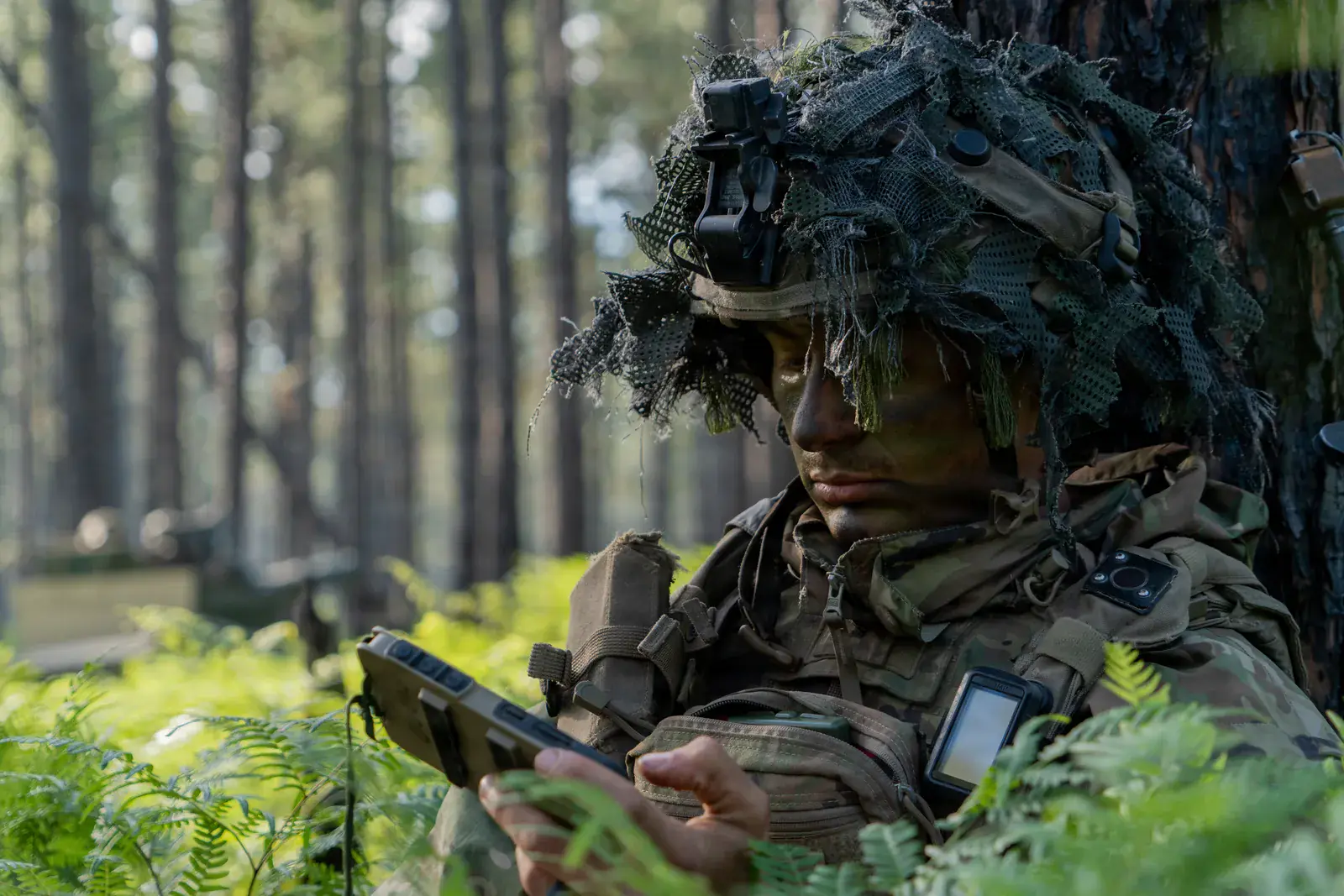
Military & armed forces
Training for military units, TAK Server handed over to the unit, plugins for military applications.
Do you make devices or software and your customers work with ATAK? Plugin development for manufacturers
New to ATAK? What is ATAK?
Photos: U.S. Forest Service / Kyle Miller (fire services) · Wolrider YURTSEVEN / Pexels (police) · Danny Howe / Unsplash (events) · U.S. Army / Spc. Sandy Vera Vazquez (military)
The U.S. military photos (DVIDS) are in the public domain. Their use does not imply endorsement by the U.S. Department of Defense.
Talk to our experts
Tell us briefly who you are and what you are planning. We will get back to you with a suggested appointment. The first consultation is free.